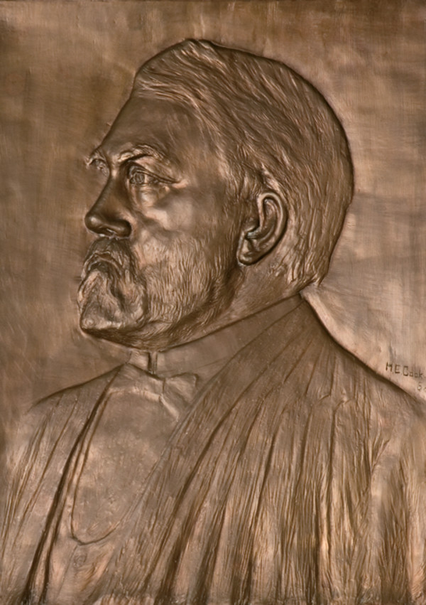
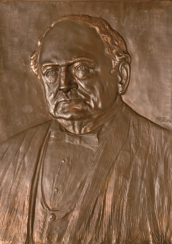
The Supreme Court of Ohio
Columbus, OH
An organized archive and digital exhibition of the art located within the Thomas J. Moyer Ohio Judicial Center.
Message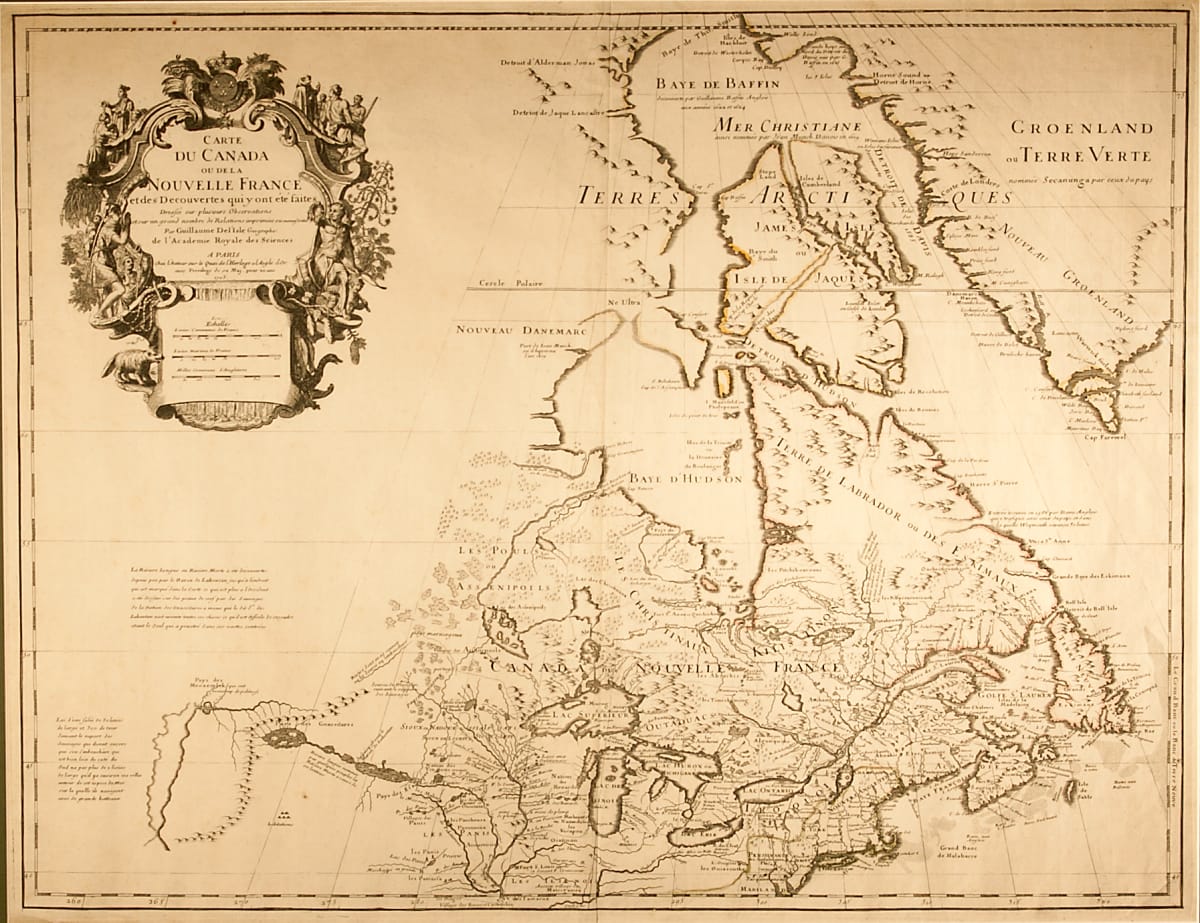
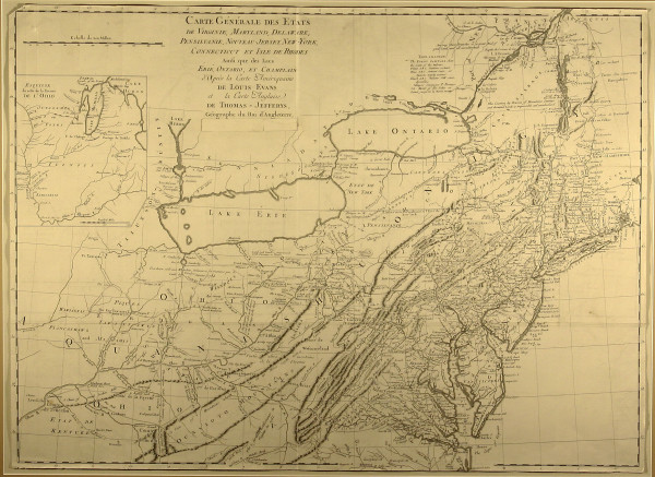
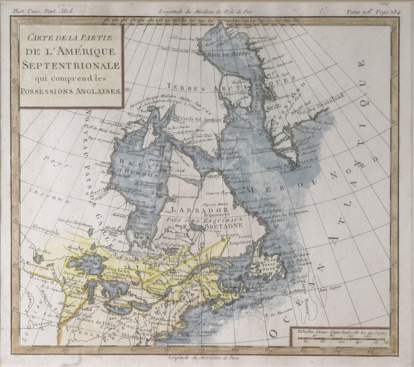
- Guillaume De L'Isle
- Carte Du Canada, 1703 -1708
- Paper
- 25.25 x 19.5 in
This map depicts Canada, the Great Lakes, and Upper Midwest sections of North America. It is titled “Carte Du Canada ou dela Nouvelle France etde Decouvertes qui y on tete faites.” This was one of the first maps to reference the Rocky Mountains.
- Subject Matter: Map
- Current Location: Floor 1 - Taft Map Room 108
- Collections: Maps