The Supreme Court of Ohio
Columbus, OH
An organized archive and digital exhibition of the art located within the Thomas J. Moyer Ohio Judicial Center.
Message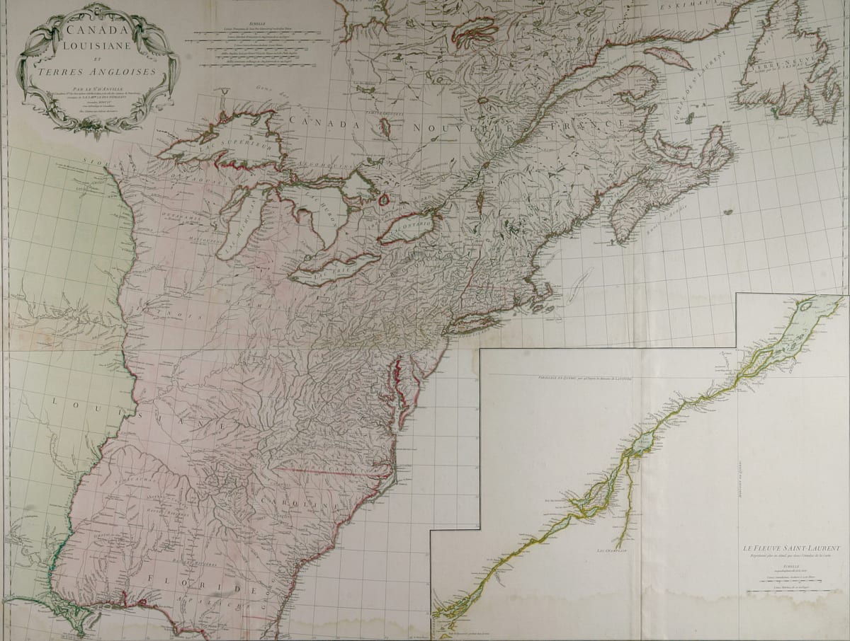
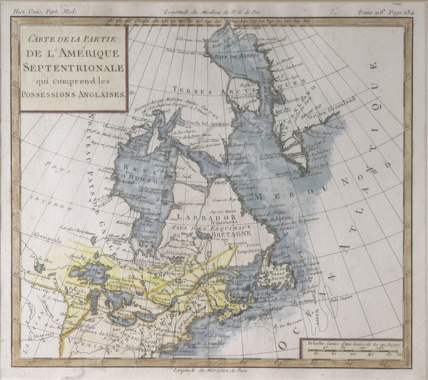
This map depicts part of the eastern shore of North America. “Canada Louisiane et Terres Angloises par le Sr. d'Anville” is written in the top left corner. The bottom right section of the map depicts a river labelled “Le Fleuve Saint Laurent,” also known as the Saint Lawrence River.
- Subject Matter: Map
- Created: November 1755
- Current Location: Floor 1 - Taft Map Room 108
- Collections: Maps
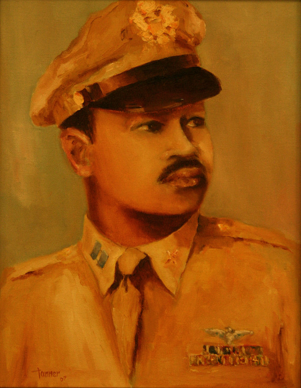
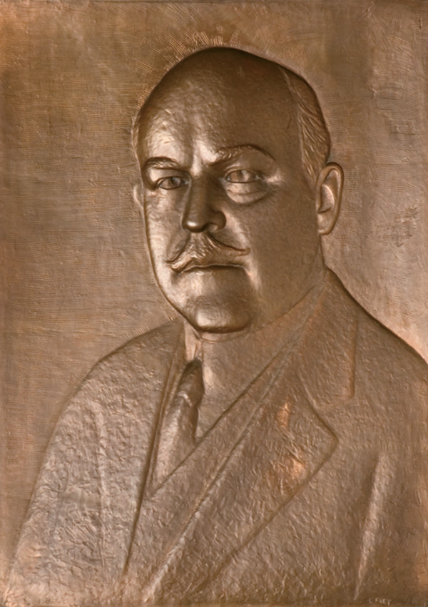
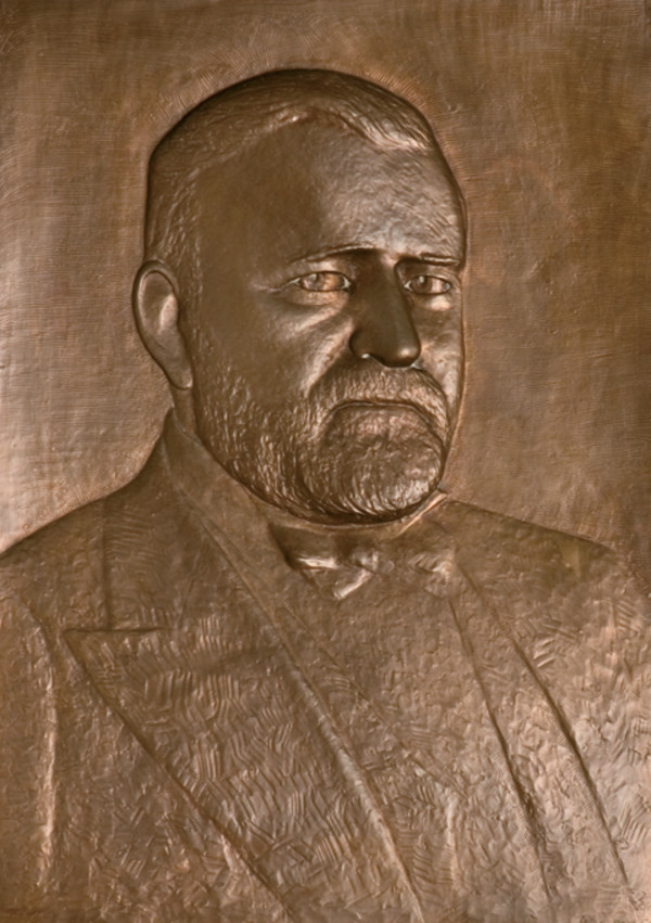
Other Work From The Supreme Court of Ohio