The Supreme Court of Ohio
Columbus, OH
An organized archive and digital exhibition of the art located within the Thomas J. Moyer Ohio Judicial Center.
Message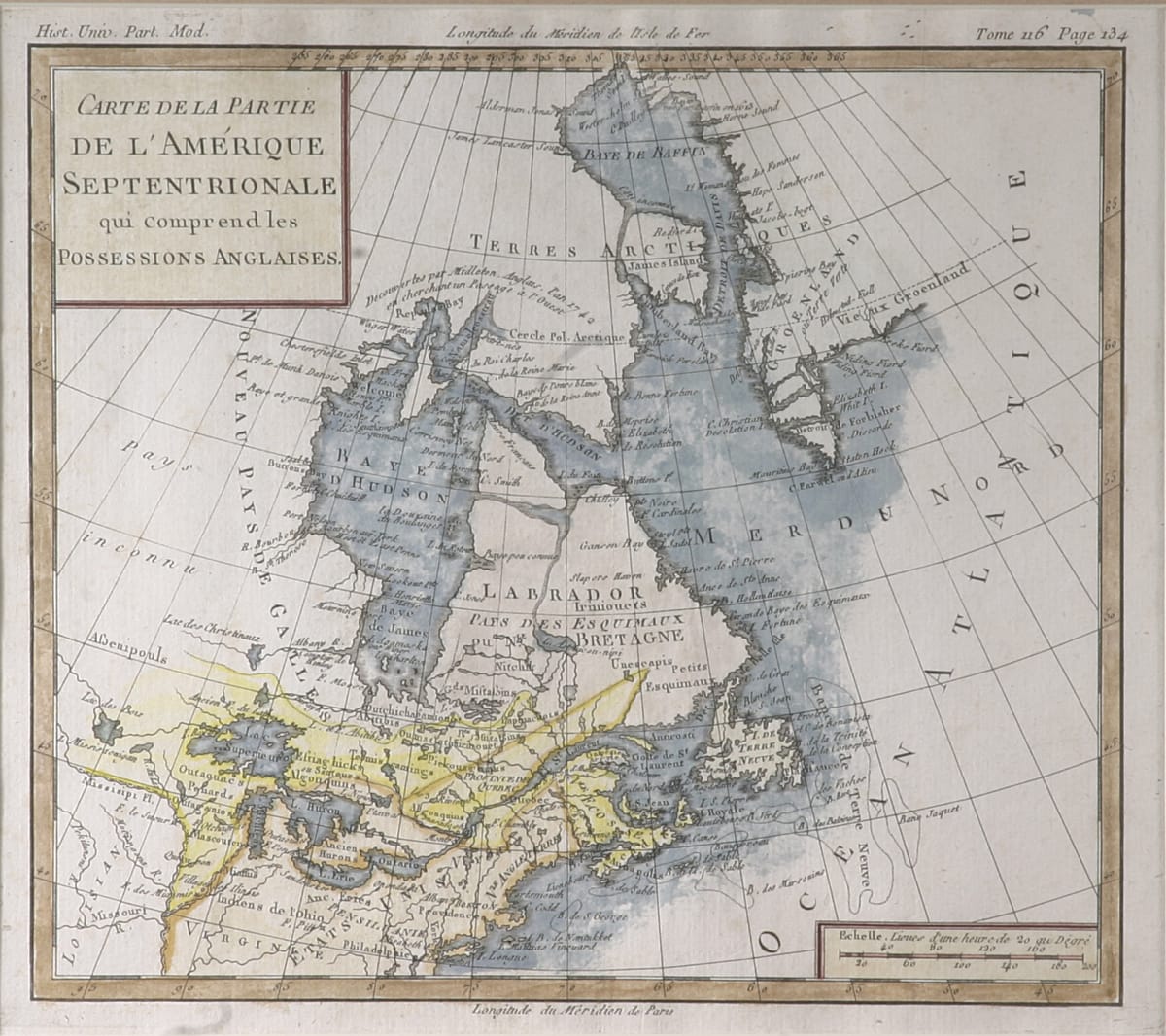
This map depicts colonial United States and Canada from Greenland and Baffin Bay to Philadelphia, the map extends west past Lake Superior to the Louisiana Territory. It is titled “Carte d'une Partie DE L'AMERIQUE SEPTRIONALE qui comprendles POSSESSIONA ANGLAISES” in the top left corner.
- Subject Matter: Map
- Current Location: Floor 1 - Taft Map Room 108
- Collections: Maps
Other Work From The Supreme Court of Ohio