• Portfolio
  • Collections
  • Artists
  • Log In
Artwork Archive Logo
  • Discovery
M Art Museum

M Art Museum

Message
  • Portfolio
  • Collections
  • Artists
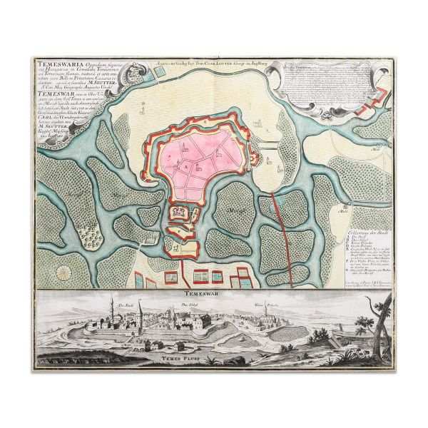
Map of the Timisoara fortress by Matthaus Seutter
  • Matthaus Seutter
  • Map of the Timisoara fortress, 1745
  • Copper engraving, laid paper, hand-coloured
  • 53 x 64 cm
  • Available
  • Inquire
  • Share
  • Facebook logo facebook Share this blog post via Facebook
  • Twitter logo twitter Share this blog post via Twitter
  • LinkedIn logo linkedin Share blog post via LinkedIn
  • Email logo email Share this blog post via email
Prev
Next

Temeswaria Oppidum superioris Hungarice, art of the Timișoara citadel, with the fortification plan and overview of the city. Executed by Matthias Seutter in 1745, hand colored in period.

The map comes framed in a contemporary frame.

  • Collections: Maps, Old Maps, Romanian Maps

Other Work From M Art Museum

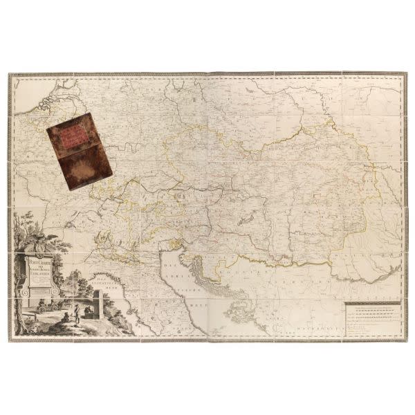
Harta postala a teritoriilor Imperiului Habsburgic by Georg Ignaz von Metzburg
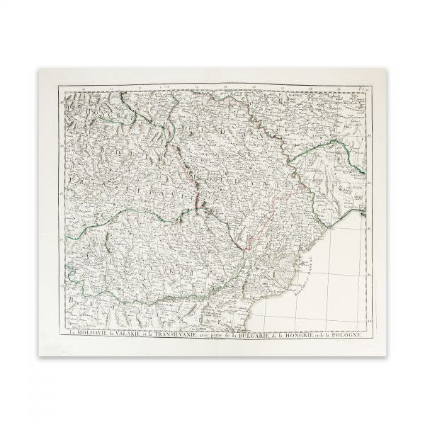
La Moldavie, la Valakie, et la Transilvanie, avec partie de la Bulgarie, de la Hongrie, et de la Pologne by Paolo Santini
Totius Danubii cum Adjacentibus Regnis nec non Totius Graeciae et Archipelagi Noviffima Tabula by August Gottlob Boehmie, Homann heirs company
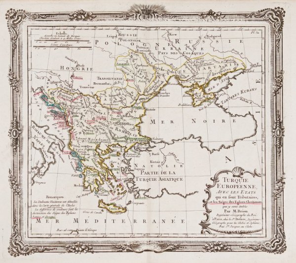
European Turkey, Paris by Louis Brion de la Tour (Father)
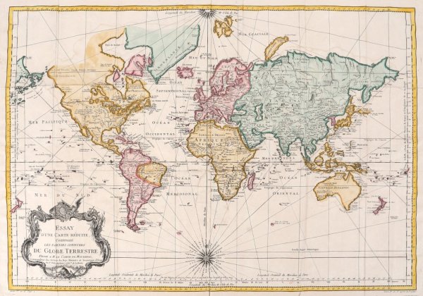
The Known Parts of the Globe, Paris by Jacques Nicolas Bellin
Transylvania, Wallachia, Moldavia - Augsburg by Lotter Tobias Conrad
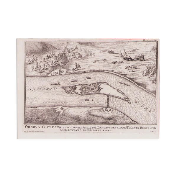
Orshova Citadel above an island on the Danube (Ada Kaleh) by Giuseppe Filosi, Gio. de Honftein
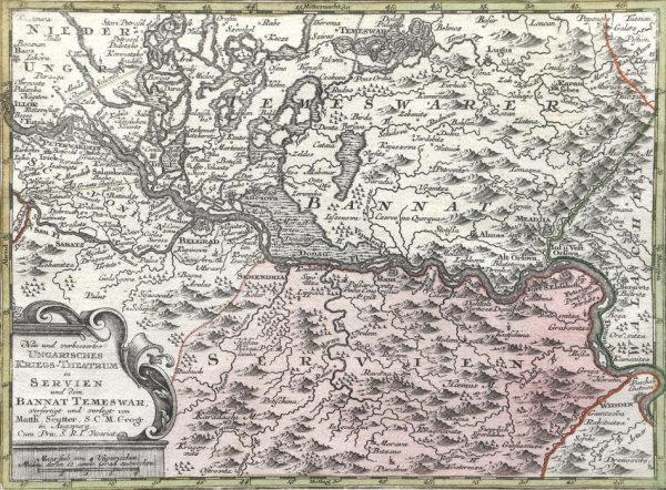
Banat (Timisoara and Severin), Augsburg by Matthaus Seutter
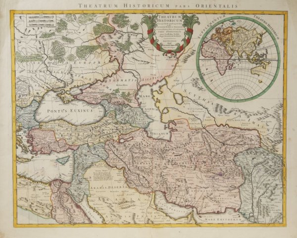
Asia Minor, Amsterdam by Pierre Mortier, Johannes Covens
Map of the World (planiglobe), Venice by Giambattista Albrizzi
See all artwork from M Art Museum
 

Powered by Artwork Archive