- August Gottlob Boehmie
- Homann heirs company
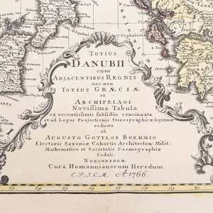
- Totius Danubii cum Adjacentibus Regnis nec non Totius Graeciae et Archipelagi Noviffima Tabula, 1766
- Copper engraving, laid paper, hand-coloured
- 55 x 65 cm
-
Available
Harta Dunării și a regatelor adiacente precum și a întregii Grecii și a Arhipelagului, întocmită de Augustus Gottlob Boehm (Totius Danubii cum adjacentibus regnis nec non totius Graeciae et archipelagi. Novissima tabula ex recentissimis subsidiis concinnata et ad leges projectionis stereographicae legitimae / reducta ab Augusto Gottlob Boehmio). Aceasta a fost realizată prin gravare în cupru în anul 1766, fiind colorată manual în epocă.
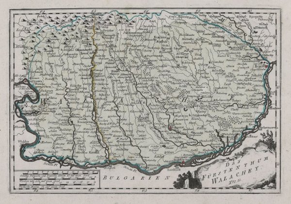
Decorative map of mainly southern Central-Europe with Greece in its centre. The map was published at Homann's Heirs after the cartographic informations by August Gottlob Böhm. The cartographic information on this map is pretty accurate for that period. With many place names, rivers, lakes, mountains, castles, etc. At the lower bottom we find a title cartouche and a mileage scale.


![Royaume de Hongrie et pays adjacents [Regatul Ungariei si tarile adiacente] by Rigobert Bonne](https://assets.artworkarchive.com/image/upload/t_jpg_medium_width/v1/user_94430/H02-1_ygdsjj.jpg)
