The Supreme Court of Ohio
Columbus, OH
An organized archive and digital exhibition of the art located within the Thomas J. Moyer Ohio Judicial Center.
Message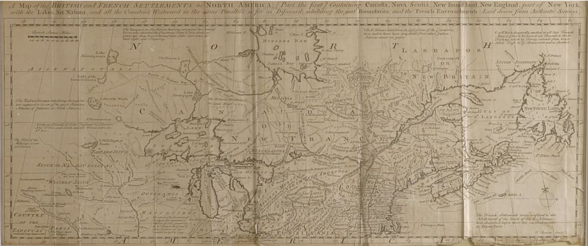
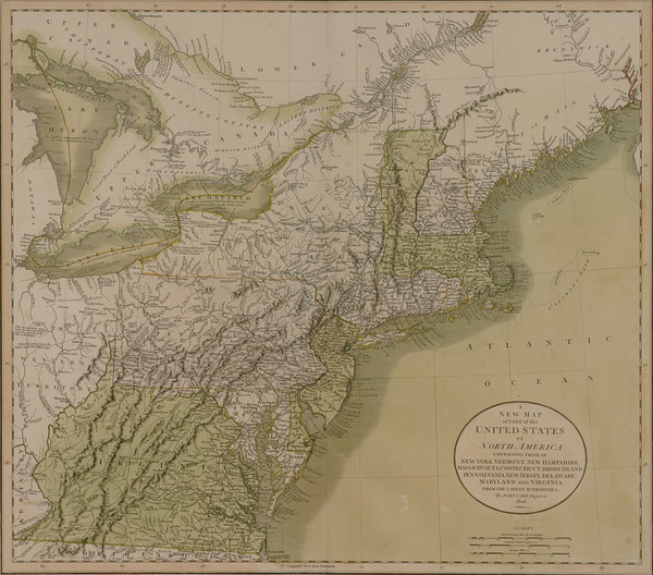
- Thomas Bowen
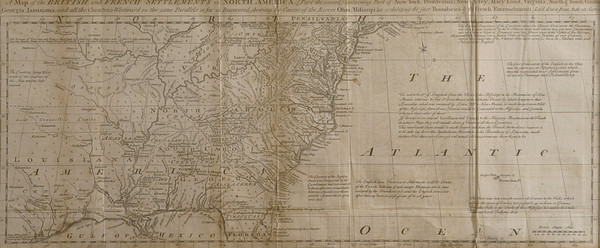
- A Map of the British and French Settlements (Upper), 1755
- Paper
- 19.25 x 7.5 in
The British French Upper map displays part of the upper portion of North America. The top reads “A Map of the British and French Settlements in North America [part the first] containing Canada, Nova Scotia, New found land, New England, part of New York, with the Lakes, Six Nations, and all the Countries Westward in the same parallels so far as Discovered the just Boundaries of the French Encroachments: Laid down from Authentic Survey.”
- Subject Matter: Map
- Current Location: Floor 1 - Taft Map Room 108
- Collections: Maps
Other Work From The Supreme Court of Ohio