The Supreme Court of Ohio
Columbus, OH
An organized archive and digital exhibition of the art located within the Thomas J. Moyer Ohio Judicial Center.
Message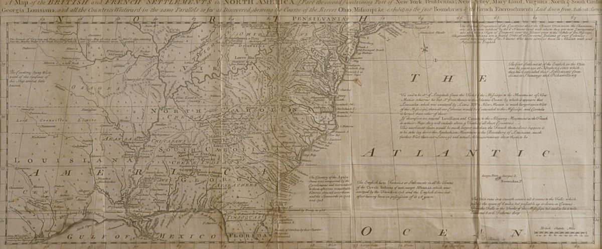
- Thomas Bowen
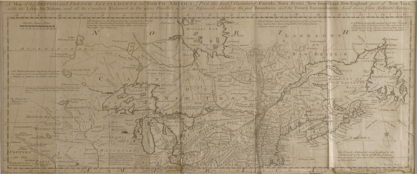
- A Map of the British and French Settlements (Lower), 1755
- Paper
- 19.25 x 7.5 in
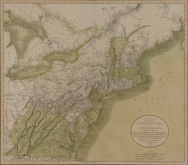
The British French Lower map displays part of the lower eastern portion of North America and a large section of the Atlantic Ocean. The top reads “A Map of the British and French Settlements in North America [part the second] containing Part of New York, Pennsylvania, New Jersey, Mary Land, Virginia, North & South Carolina, Georgia, Louisianna, and all the Countries Westward in the same parallels so far as Discovered showing the Course of the Rivers Ohio, Mississippi, &e exhibiting the just Boundaries of the French Encroachments Laid down from Authentic Survey.”
- Subject Matter: Map
- Current Location: Floor 1 - Taft Map Room 108
- Collections: Maps
Other Work From The Supreme Court of Ohio