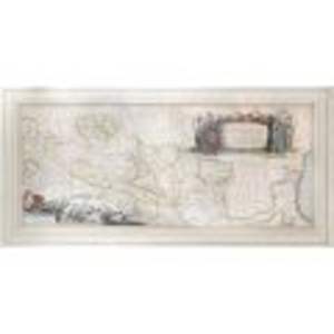
- Jan Janssonius
- Danube river, 1635
- Copper engraving, laid paper, hand-coloured
- 41.5 x 95 cm
-
Available
The map of the Danube river made by Jan Janssonius around 1635. In a cartouche, located in the upper left part, the name of the map was inscribed: Danubius Fluvius Europae Maximus, A Fontibus ad Ostia, Cum omnibus Flumnibus ad utroque latere in illum defluentibus.
The cartouche is flanked by the representation of a western sovereign, and on the opposite side by the representation of the Ottoman sultan, both of which are accompanied by two allegorical figures symbolizing Christianity and Islam. In the lower part, the scale of the map was represented in German and Italian miles, along with an allegorical representation of the Danube river, Danube, along with the personifications of its tributaries.
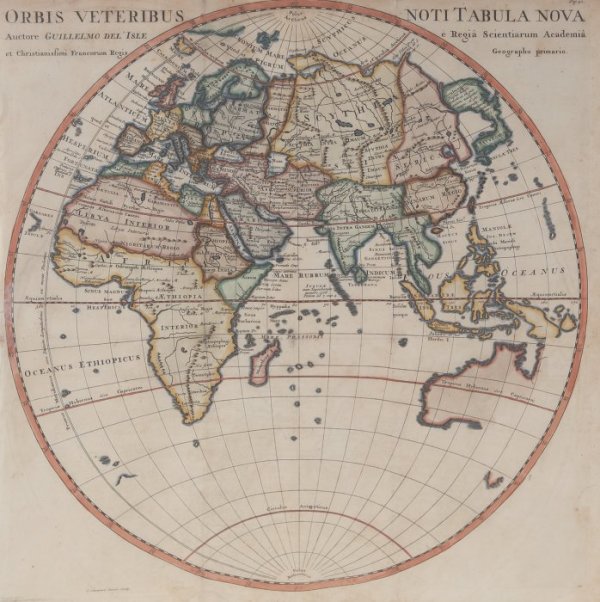
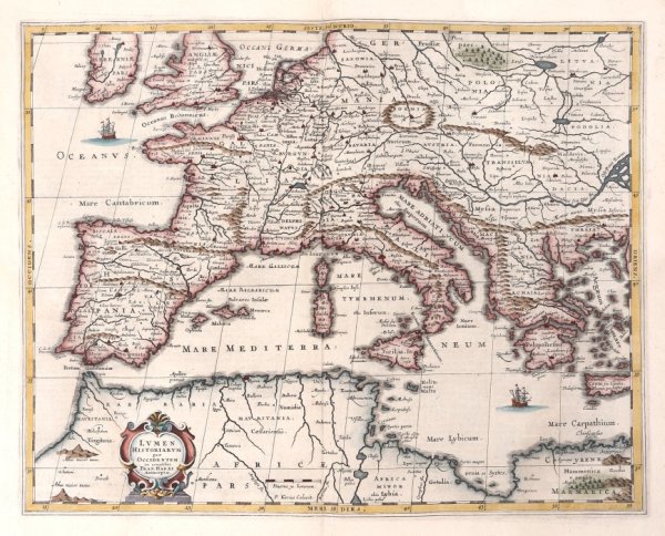
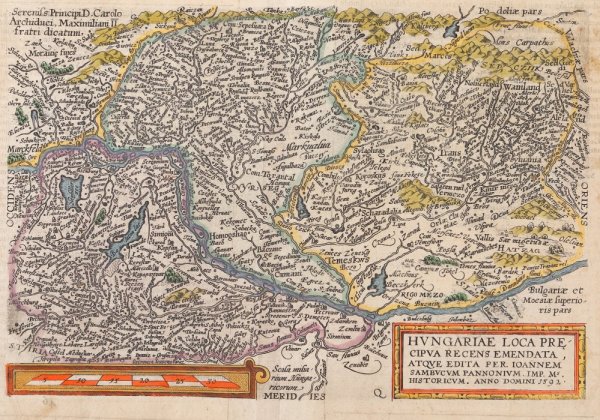
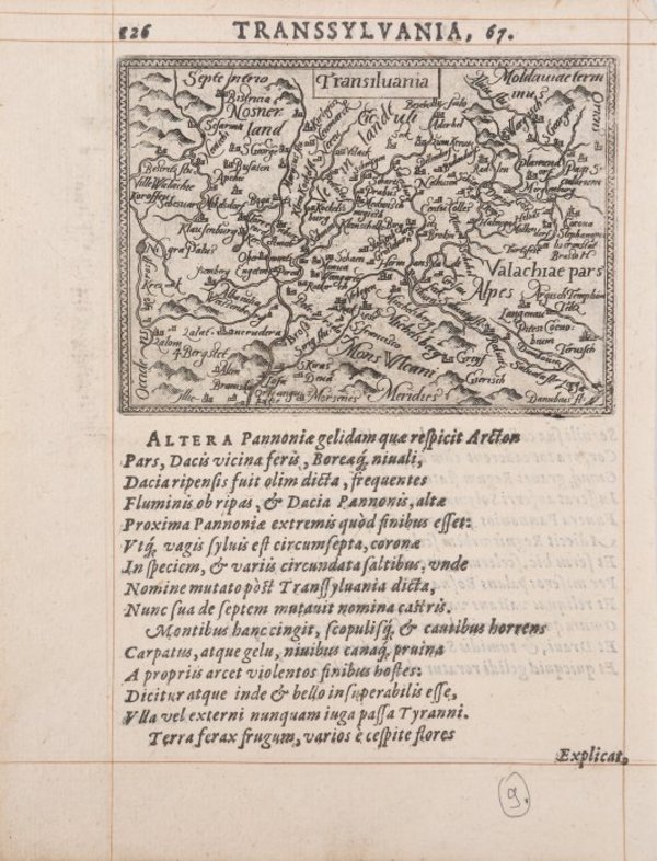
The map shows the entire course of the river, which starts from the southwest of Germany, up to the mouths of the Black Sea, but also the adjacent territories, such as: Italy, Croatia, Bosnia, Serbia and Bulgaria, Poland, Bessarabia.
The map was made in Amsterdam, by engraving on gunplates, being colored by hand in the period.
The map comes framed in a contemporary frame.
- Collections: Maps, Old Maps, Romanian Maps
Other Work From M Art Museum