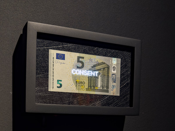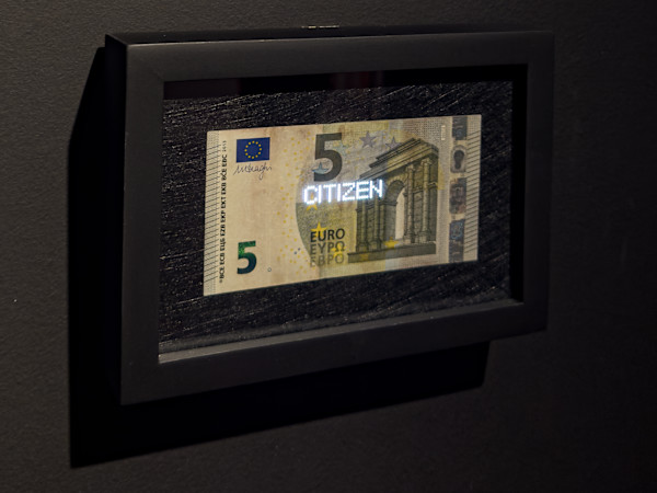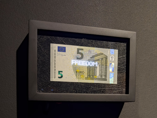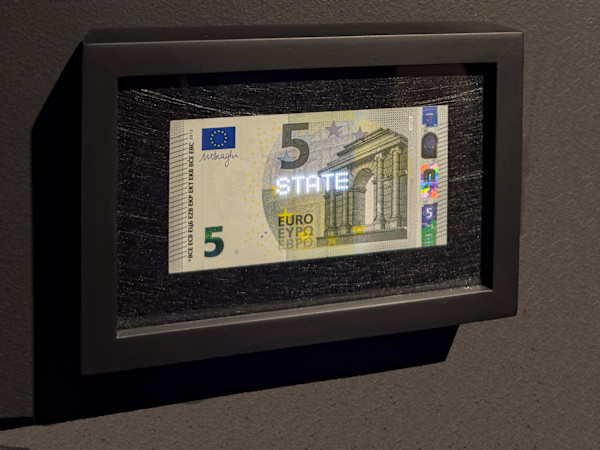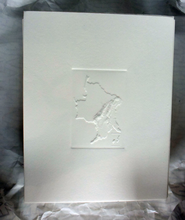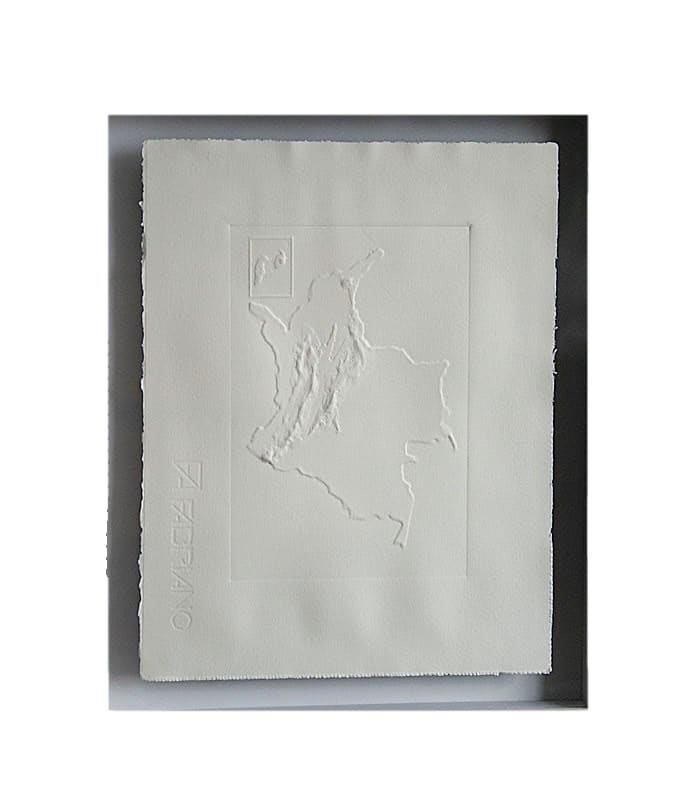
Repúblicas - 1978 (2023) es una obra que surge de un interés ligado a la construcción histórica del país, a partir de la institucionalidad y la estructura del aparato estatal y sus representaciones. Desde este interés se seleccionó el mapa de Colombia, entendido como signo para reflexionar sobre la relación entre este ente inmaterial y el mapa entendido como un índice. Se partió de la apropiación de un producto del Instituto Geográfico Agustín Codazzi, para generar una re lectura de su ejercicio cartográfico (realizado en la década de 1970) desde el intaglio, un papel en blanco que sugiere esta representación como una de las múltiples posibilidades para la construcción del Estado en el tiempo. Así, la pieza busca señalar cómo el mapa plantea una relación indéxica cambiante con la idea de estado, señalando ciertos vínculos lingüísticos condicionados dentro de un marco espacio temporal especifico.
Repúblicas - 1978 (2017) is a piece that arises from an interest linked to the historical construction of Colombia, based on the institutions and structure of the state apparatus and its representations. From this concern the map of Colombia was chosen, understood as a sign built on the relationship between this intangible entity: Colombian State and the map understood as an index. It was based on the appropriation of a product of the Agustín Codazzi Geographical Institute, from there a new reading of its cartographic exercise (carried out in the 1970s) was proposed with the intaglio, a blank paper that suggests this representation as one of the multiple possibilities for the Colombian State over time. Thus, the piece seeks to indicate how the map poses a changing relationship over the concept of state, pointing out certain conditioned linguistic links within a specific framework of time and space.
- Subject Matter: Colombian Contemporary History