• Portfolio
  • About
  • Collections
  • Artists
  • Log In
Artwork Archive Logo
  • Discovery
TIMELINES ANTIQUES

TIMELINES ANTIQUES

Saint Paul, MN

Message
  • Portfolio
  • About
  • Collections
  • Artists
Framed 17th century map Jan Jansson
  • Framed 17th century map Jan Jansson
  • 22.25 x 26.25 in (56.52 x 66.68 cm)
  • $325
  • Inquire
  • Purchase
  • Share
  • Facebook logo facebook Share this blog post via Facebook
  • Twitter logo twitter Share this blog post via Twitter
  • LinkedIn logo linkedin Share blog post via LinkedIn
  • Email logo email Share this blog post via email
Prev
Next

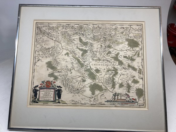
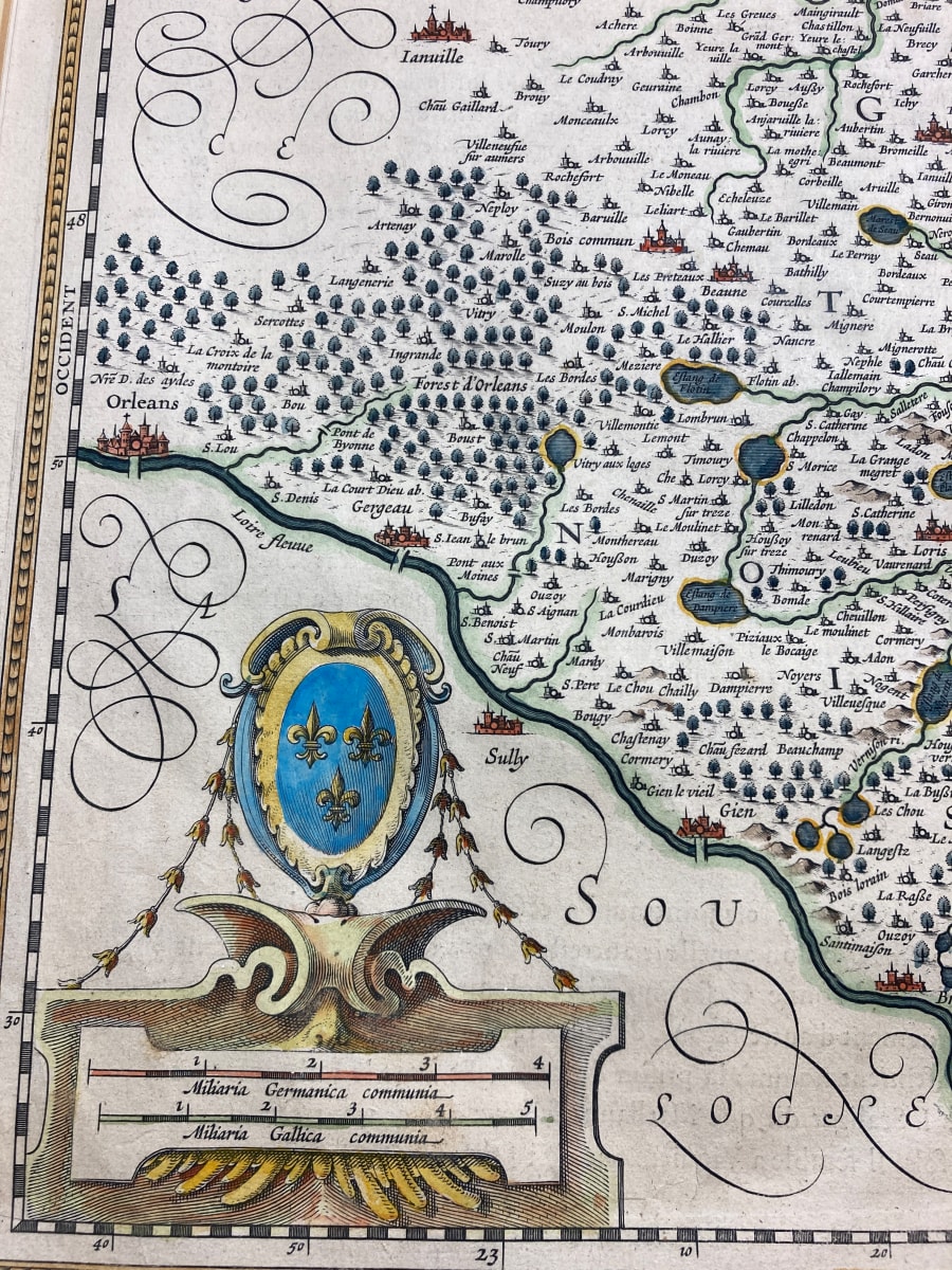
Jan Jansson was a prominent 17th-century cartographer who published a history of maps by partnering with his brother-in-law, Henricus Hondius, on the Mercator-Hondius atlas. He expanded this into the multi-volume Atlas Major and Atlas Novus, which included sea atlases, town books, and historical atlases. His work was a major competitor to that of Joan Blaeu and significantly influenced mapmaking for nearly a century after his death.

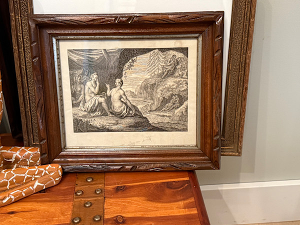
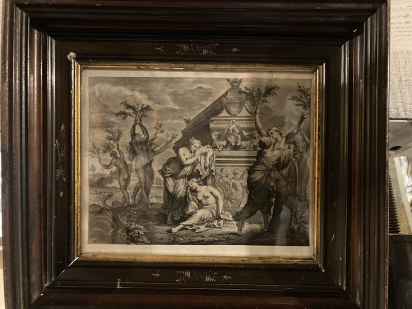
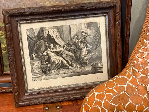
  • Collections: ARTWORK ~ Framed, ETCHINGS ~ ENGRAVINGS ~ WOODBLOCK PRINTS, MAPS

Other Work From TIMELINES ANTIQUES

framed engraving of couple in a tree Brigitte Coudrain
unframed Greek ruin watercolor
unframed  hand colored family crest watercolor
framed  Polyphemus and Acis love Galatea steel engraving
unframed  Metamorphoses of Ovide Clymene steel engraving
framed Metamorphoses D'Ovide steel engraving
Framed asian style modern engraving by Kunihero Amono
Framed 17th century map by Jan Jansson
Framed 17th century map by Joan Blaeu
Thonet arm chair
See all artwork from TIMELINES ANTIQUES
 

EXPLORE specific items or search for categories using the COLLECTIONS tab. Brick and mortar store open Saturdays from 11-4 or by appointment anytime.