Shea Schachameyer
Washburn, WI
I live along the western shores of Lake Superior and my identities include queer woman, parent, artist, adventurer, community organizer, and water protector.
Message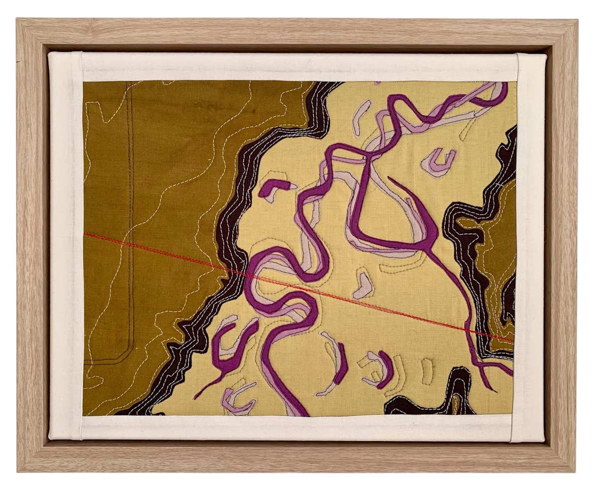
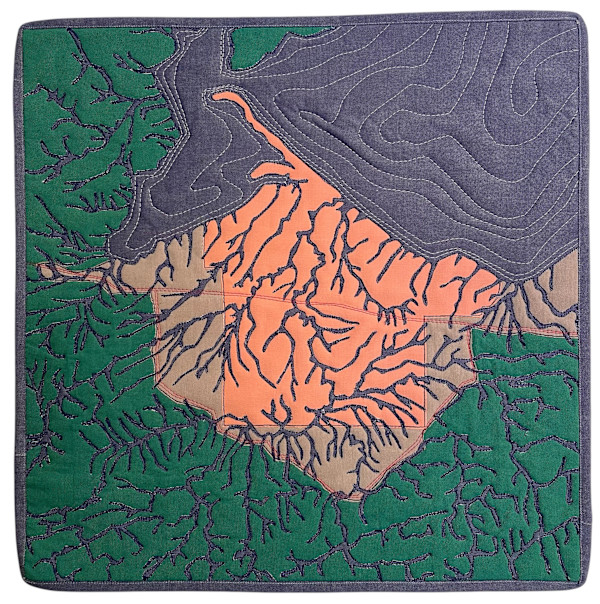
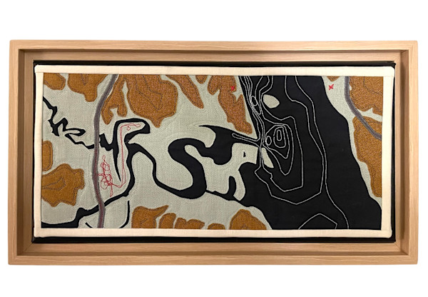
This piece shows where Line 5 crosses Mashkii-ziibii which translates to Medicine River in Ojibwe, otherwise known as the Bad River. Mashkii-ziibii is a dynamic river that continues migrate across the floodplain as she winds her way from the headwaters in the Penokee Hills through Copper Falls State Park, the Bad River Reservation, and finally through the Kakagon/Bad River Sloughs to the mouth of Lake Superior. As such, the floodplain shows the history of the river with meanders, braided channels, and ox bow lakes.
This piece highlights the critical threat Line 5 poses to the Mashkii-ziibii and Lake Superior. By using aerial images from 1953 when the pipeline was constructed, 2015, and 2021, one can see how the meander where the pipeline crosses has continued to be eroded as part of a natural process in which the river cuts a new channel forming an ox bow lake.
While this meander is a natural process, the amount of land between the bank and the pipeline could easily be washed away with the very next major storm. Modeling has shown that when this happens, the pipeline will be exposed to extreme stress from the force of the river and catastrophic failure is all but certain.
- Collections: Water Protector Series
Other Work From Shea Schachameyer