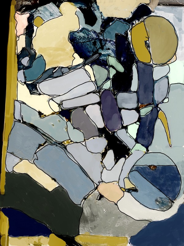
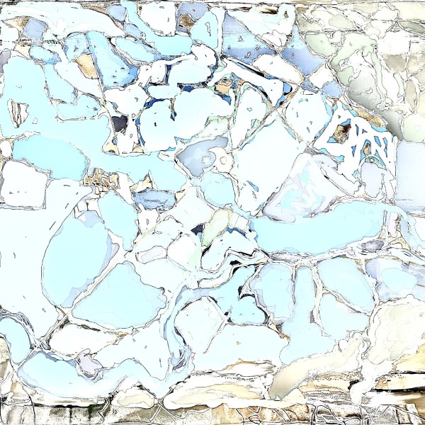
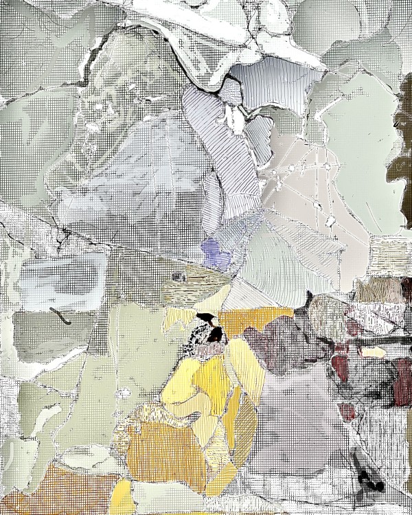
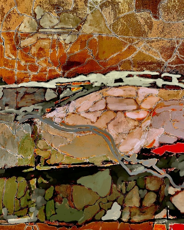
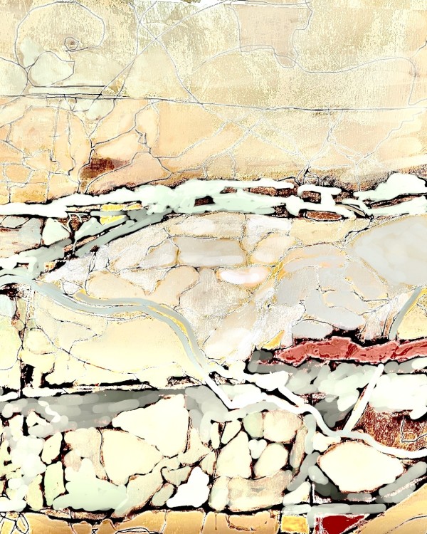
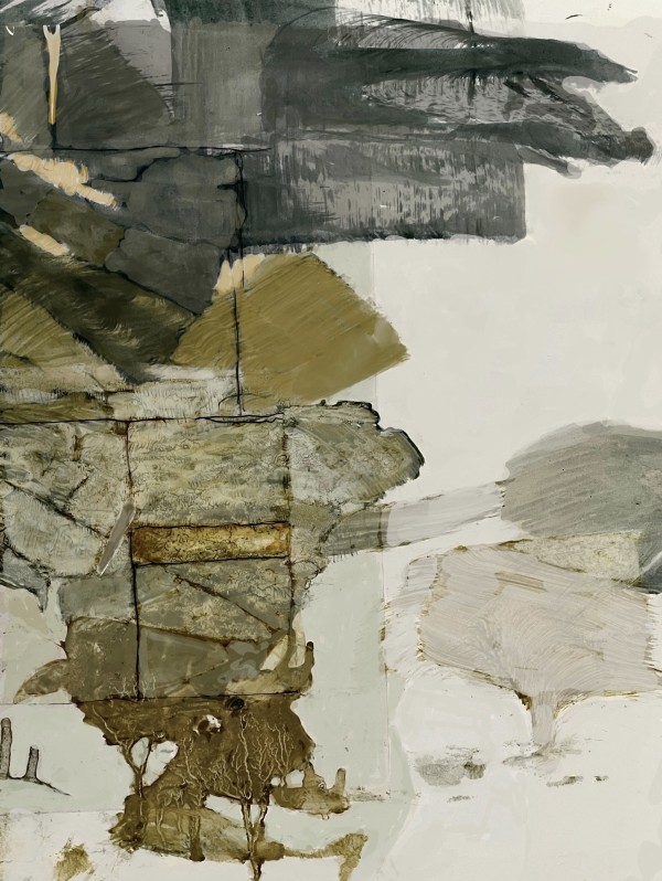
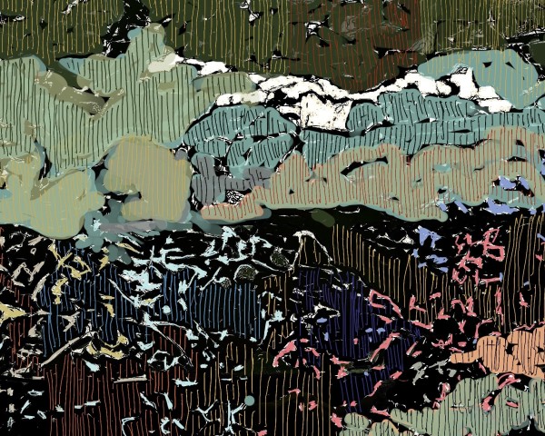
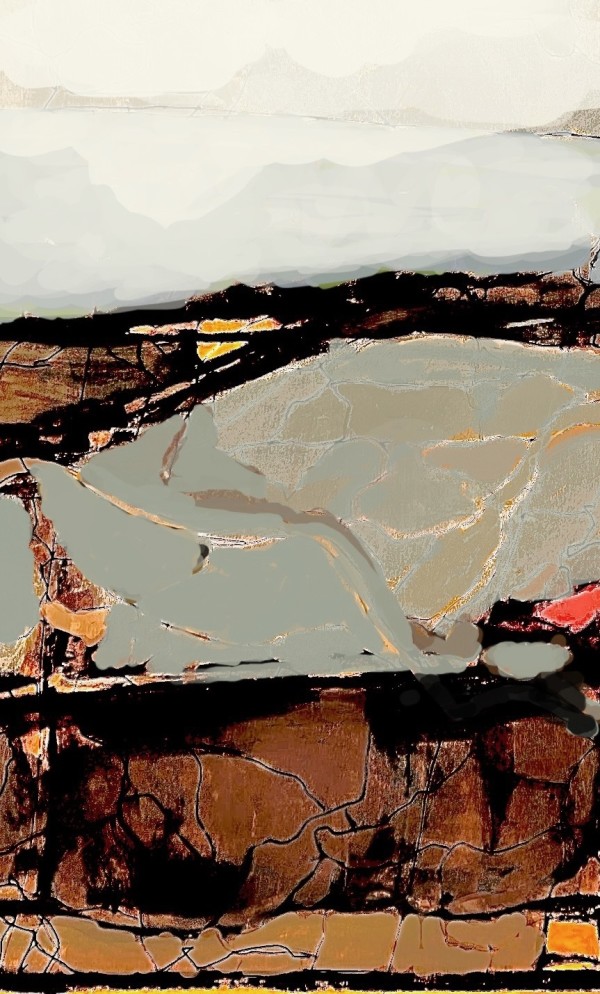
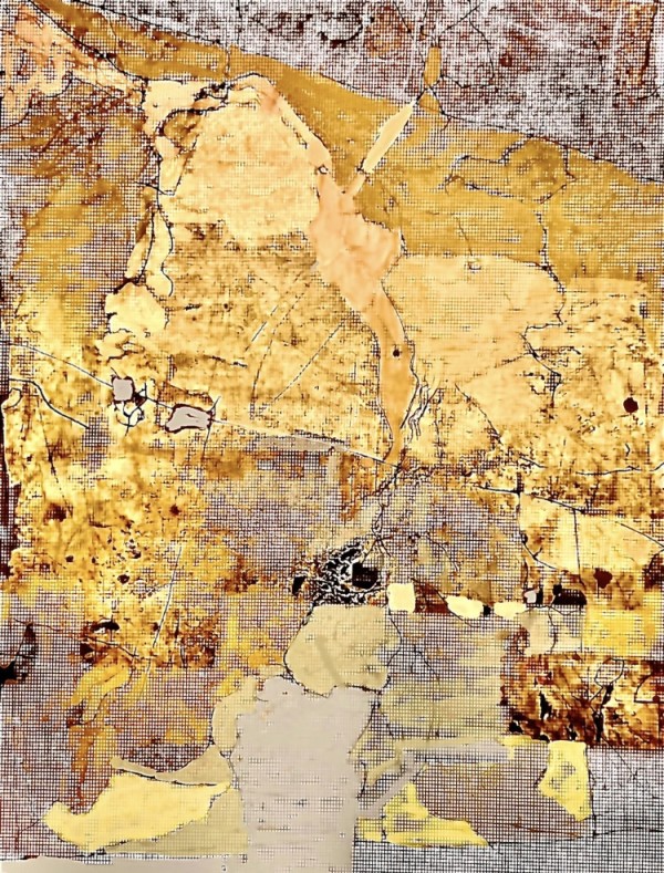
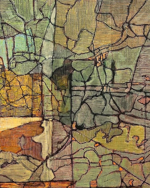
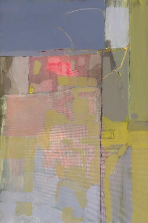
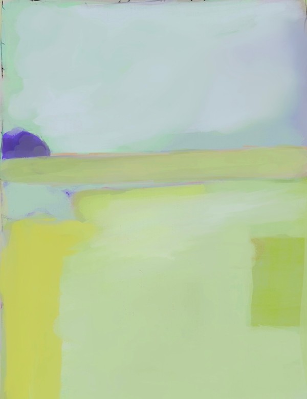
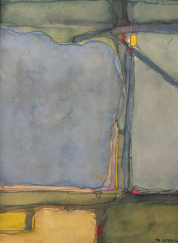
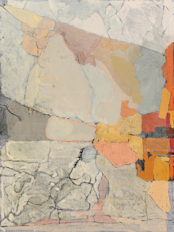
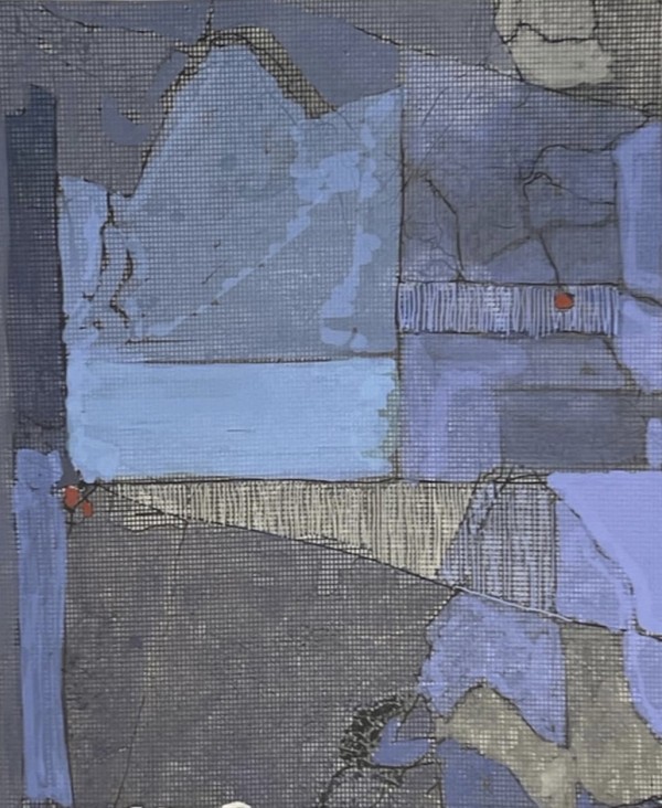
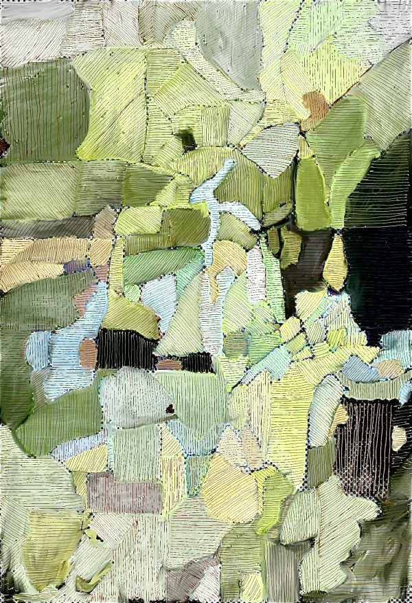
Collection: Maps - A Pligram's Progress
Each of the images presented are places I have been over the last 72 years . They are remembered as maps - imagined as seen from above - or as abstract visual memories of those places . A majority of them are about the American West – New Mexico, where I was born, in particular. The rest are spots around the world I have lived or visited.
1. “A map is a drawing of a particular area such as a city, a country, or a continent, showing its main features as they would appear if you looked at them from above.”
2. “The earliest maps must have been based on personal experience and familiarity with local features. They doubtless showed routes to neighboring tribes, where water and other necessities might be found, and the locations of enemies and other dangers. Nomadic life stimulated such efforts by recording ways to cross deserts and mountains, the relative locations of summer and winter pastures, and dependable springs, wells, and other information.”