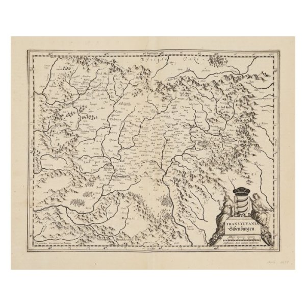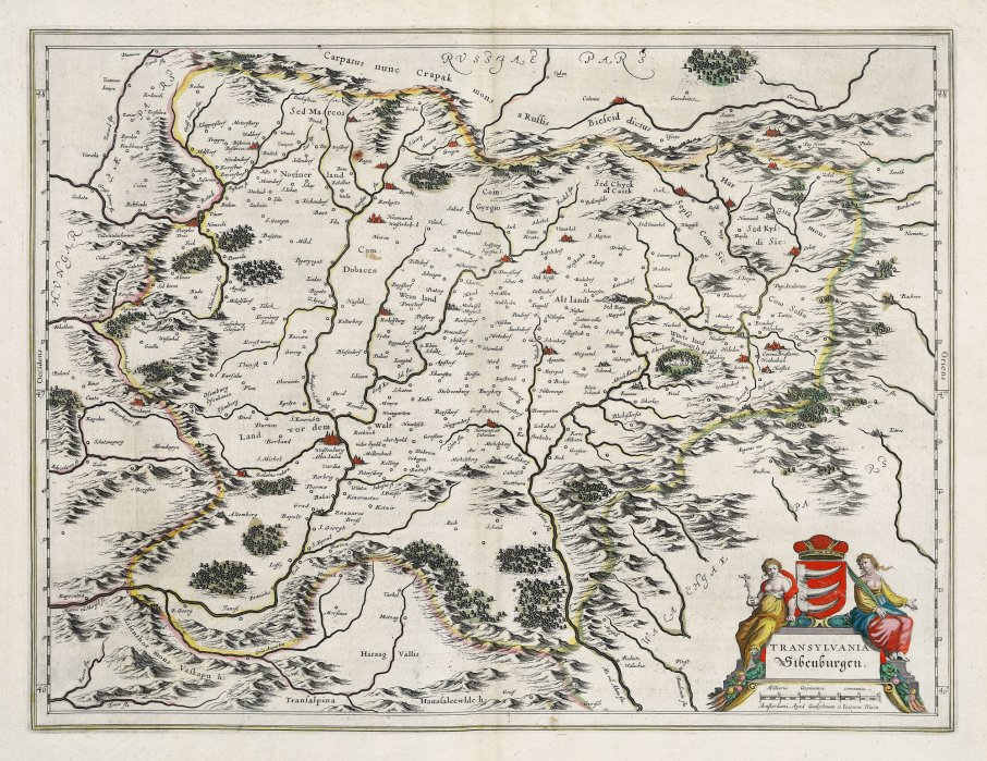

- Willem Janszoon Blaeu
- Transylvania, Amsterdam, (2nd pcs), 1634-1636
- Copper engraving, laid paper, hand-coloured
- 38 x 50 cm
-
Available
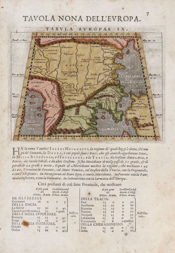
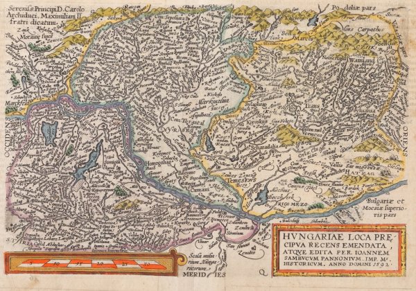
As we know nowadays (KEUNING 1959: 74), W. Blau acquires from Jodocus Hondius Jr. in 1629 a series of engraving plates from Mercator's collection. Thus, except for the cartouche, the map is a copy of the Mercator-Hondius maps, some boards being printed in the Bleau atlas with not too many changes.
The board presents Transylvania surrounded by mountains, with "Russia pars" to the north, "Walachiae pars" to the south and "Ungariae pars" to the west, with the division in various regions, without being delimited by borders: Land vor dem Walt (The land before the forest), Weinland (Land of Wine), Altlandt (Old Land), Wurtzland (Burzenland), Nosnerland (Land of Bistrita). It comprises a multitude of localities, the great cities being marked by miniature symbols - boroughs with towers and ramparts - coloured in red: Weisenburg / Alba Iulia, Hermanstat / Cibinum / Sibiu, Clausenburg / Colosvar / Cluj, Cotona / Brasonia / Brașov etc. In the lower right part there is a cartouche adorned with two female characters, Faith and Wisdom, which frame the Bathory Family shield (three bear's claws), one of the characters holding a cross in her hand. Under the cartouche is the graphic scale expressed in German miles.
- Collections: Maps, Old Maps, Romanian Maps
Other Work From M Art Museum