-
Artist: Nicolas de Fer (French, 1646-1720)
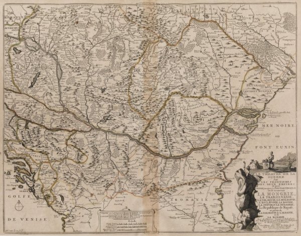
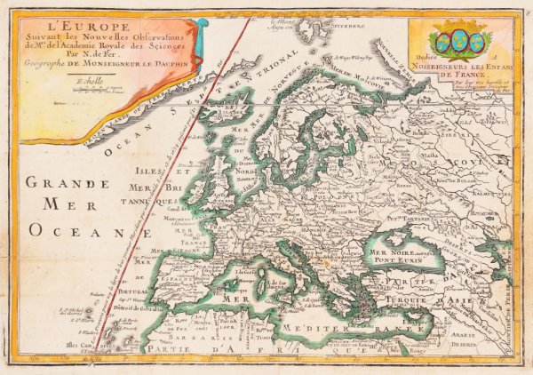
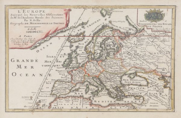
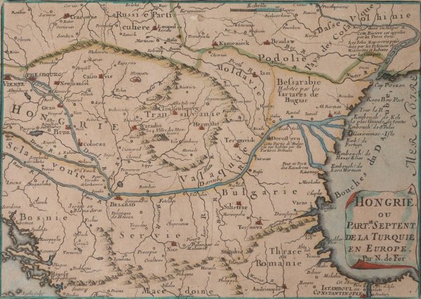
Nicolas de Fer (French pronunciation: [nikɔla də fɛʁ], 1646 – 25 October 1720) was a French cartographer and geographer. He also was an engraver and publisher. His works focused more on quantity than quality, there were often geographical errors,[1] and they were more artistic than accurate.
De Fer was so successful at improving the firm that, in 1690, he became the official geographer to Louis, Dauphin of France.[6] With support from the Spanish and French royal families, de Fer also became official geographer for Philip V and Louis XIV, the kings of Spain and France, respectively.[3][5] Because of this, his maps became Bourbon propaganda, endorsing French King Louis XIV.[5][6]
His business flourished, producing town plans, atlases, wall maps, and more than 600 sheet maps.[3] He made maps of places in Europe and North America, including New Spain,[7] places fortified by Vauban,[8] the Low Countries, and the War of the Spanish Succession. In 1698, de Fer published a map of North America, which included a depiction of beavers building dams near Niagara Falls. Seventeen years later, Herman Moll published a map which plagiarized elements of de Fer's work, particularly the beaver scene. It became known as the "Beaver map".[9][10] De Fer became the official geographer for The King of Spain in 1720.[6] Two of his sons-in-law, Guillaume Danet and Jaques-François Bénard, continued the company after de Fer's death on 25 October of that year until around 1760.[1]
Powered by Artwork Archive


