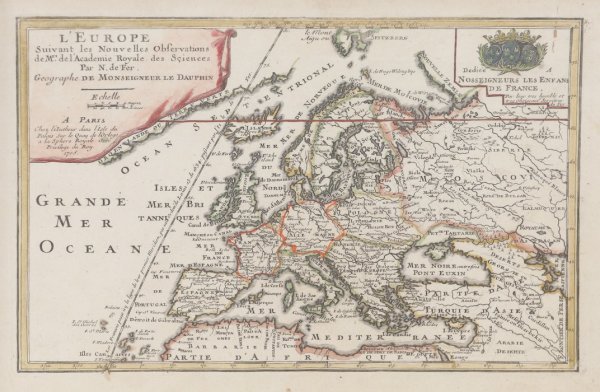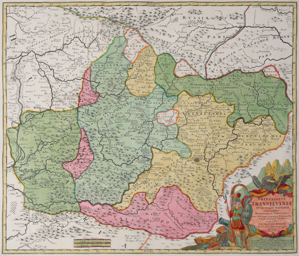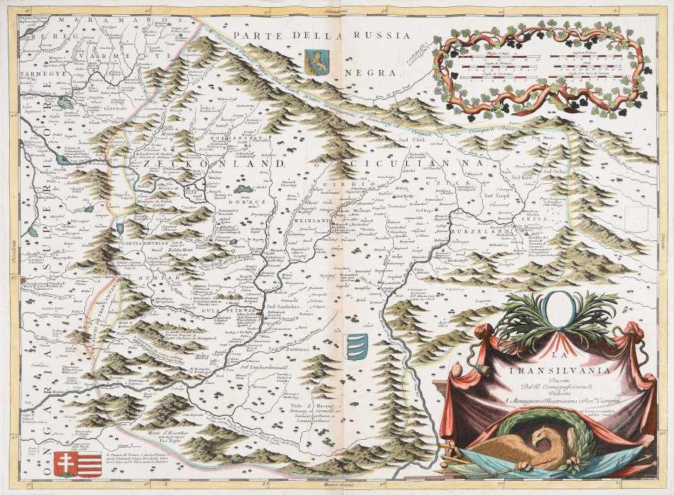
- Vincenzo Maria Coronelli
- Transylvania, Venice, 1697
- Metal engraving, striped paper, hand-coloured
- 50 x 68 cm
-
Installed
The map includes the division of the principality into districts and contains both physical and economic geography and historical-military elements. Transylvania is divided into counties and districts, and the representative localities are also included, with subsequent old historical names, and rendered in Latin, German, Romanian, Hungarian, French and Italian, with references to Antiquity, including the Geography of Ptolemy. The chronology and location of the sieges or the battles fought with the Turks over the course of two centuries is highlighted by means of short texts. On the left, the following is mentioned: "Unguar, Ungaria / Ripresa dagli Imp. 1685". The content, rich in information, is complemented by an exceptional artistic achievement. Numerous miniature coats of arms and blazonry are inserted into the map’s composition. In the North, in Russia Negra, the rampant bear of Ukraine is represented. On the territory of Transylvania, one can see the coat of arms of the Bathory family (a shield with dragon tusks and a crown above), and on the lower left side, on two shields, the apostolic cross of Hungary, and the coat of arms of the House of Arpad, respectively, are shown. The title of the map is shown on the lower right side, on an ornate draping in the upper centre side with vegetal motifs and a loose medallion, and at the bottom, one can see an eagle sitting on Turkish flags and weapons, holding a sceptre in its claws. The map scale, in Italian miles, French leagues, German leagues and Polish leagues, is represented in two tables, on the upper right side, framed by floral and vegetable motifs in wreaths. The map was included by Coronelli in the Atlante Veneto (the Venetian Atlas), published in 1690, when the military occupation of Transylvania by the Imperials began.
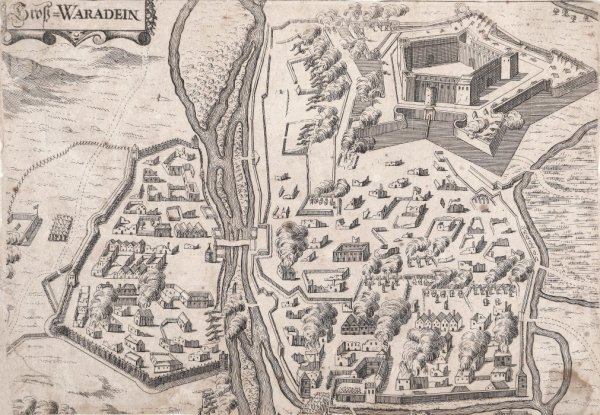
- Collections: Maps, Old Maps, Romanian Maps
Other Work From M Art Museum