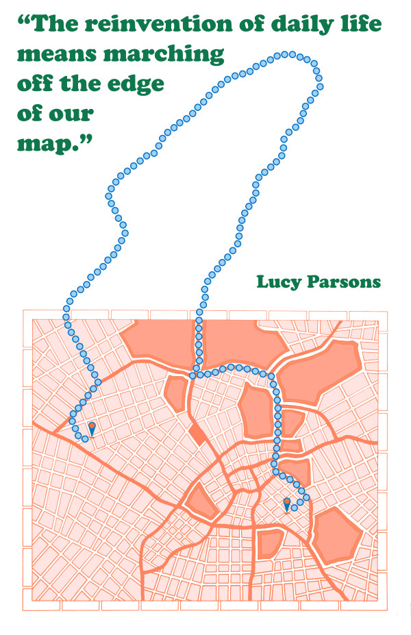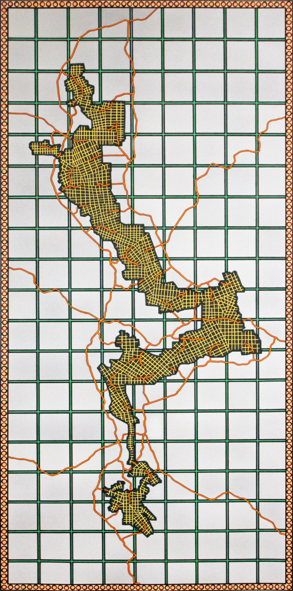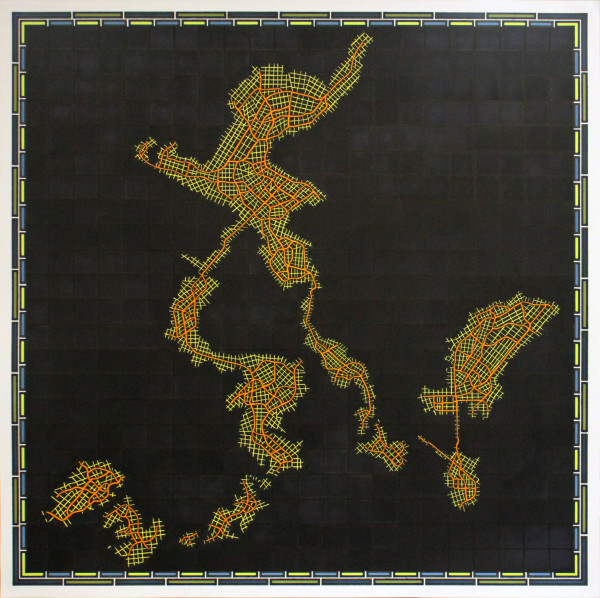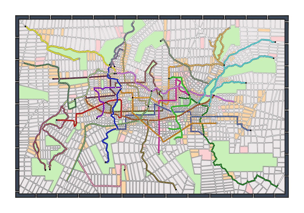
All the walking routes are appropriated from important protest marches, death marches, migration routes, refugee routes, and commemorative parades. Different forms of walking that connote more than just locomotion but the reason for walking. I arranged the routes on the map like they were roads or highways. A central region with spokes that extend outward. Then the "city" was built around the walking routes. In real life, marches and migration routes contour according to the city or landscape. In this map, the city is planned around the walking routes highlighting the historical and cultural significance of this kind of walking.
Visually though, I was thinking about looking at walking routes on google maps. Not only did I appropriate the circles to represent the walking routes, I also took the gray, pink , and orange color scheme that google maps use to represent details of city blocks when zooming in.
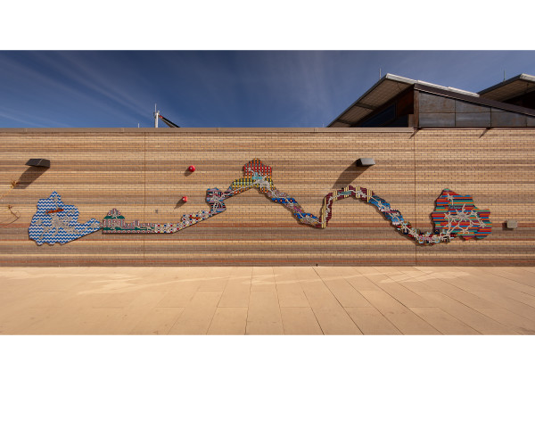
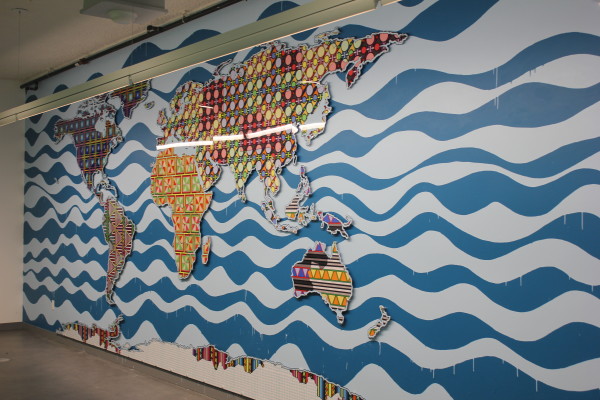
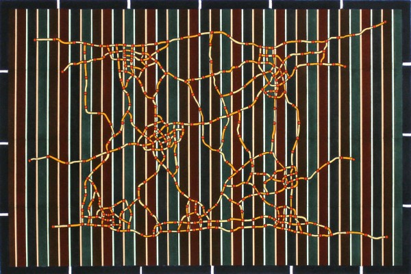
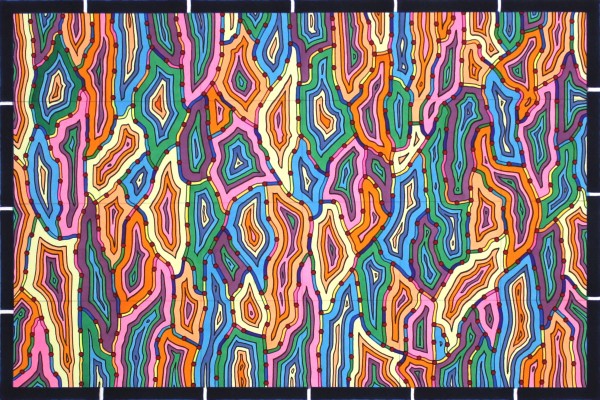
Other Work From Lordy Rodriguez