Guild of Natural Science Illustrators
The GNSI is a 501(c)(3) that connects, provides professional development & networking opportunities to visual science communicators
Message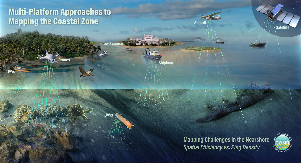
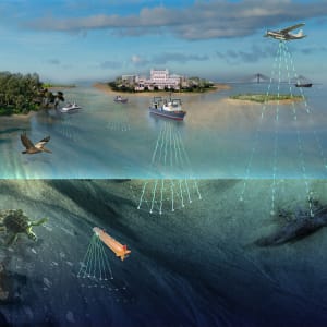
The University of South Florida recently launched the Center for Oceanic Mapping and Innovative Technologies, also known as COMIT- showcasing revolutionary new mapping technology. USF's new surface vessels will be able to map the shallow coastal areas of Tampa Bay and the Gulf of Mexico. With new methods to map the land beneath the sea, this not only helps with ship navigation but helps predict where storm surges will be the most devastating during a hurricane. Artwork by Nicolle R. Fuller, Christoph Kuehne, and May Jernigan, SayoStudio.
- Subject Matter: Landscape Illustration and Technology