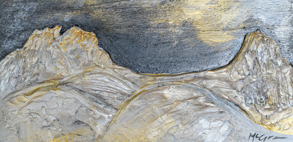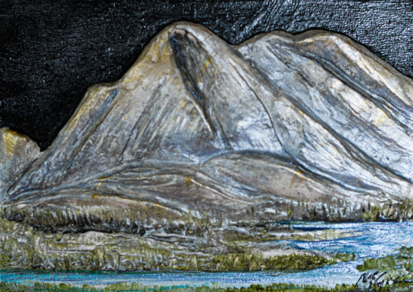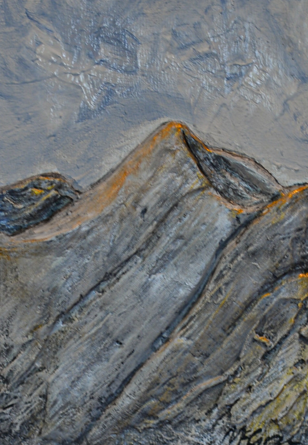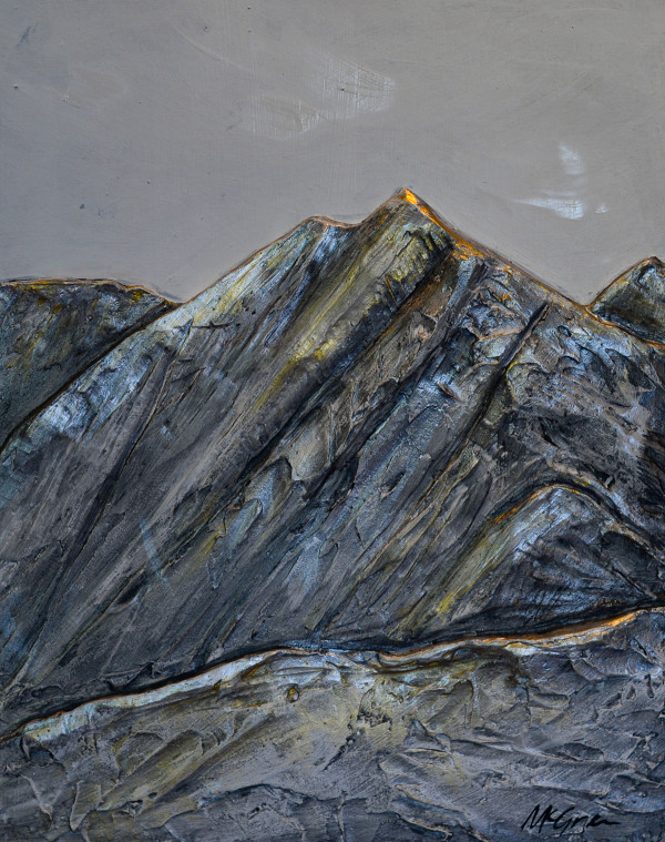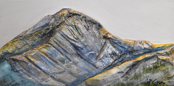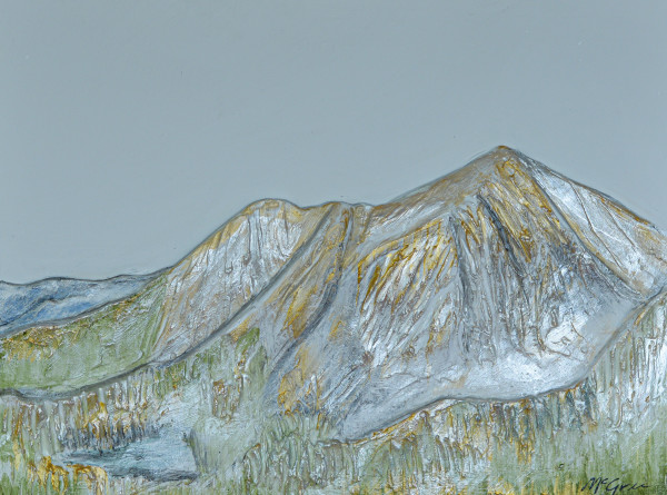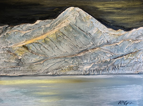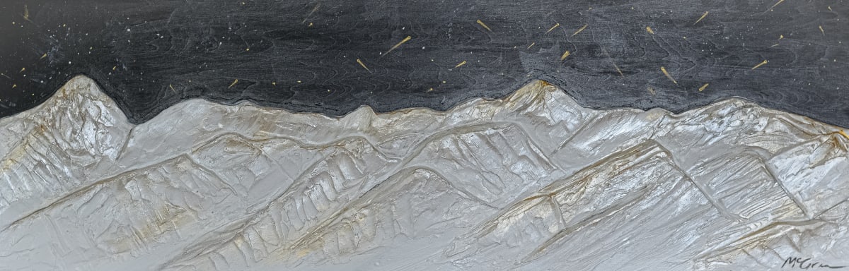
The Bridger Range, also known as the Bridger Mountains, is a subrange of the Rocky Mountains in southwestern Montana in the United States. The range runs mostly in a north–south direction between Bozeman and Maudlow. It is separated from the Gallatin Range to the south by Bozeman Pass; from the Horseshoe Hills to the west by Dry Creek; from the Crazy Mountains to the east by the Shields River valley; and from the Big Belt Mountains to the north by Sixteen Mile Creek. The highest point in the Bridger Range is Sacagawea Peak (9,596 feet (2,925 m)), which is visible to the northeast from Bozeman.
Although the range is mostly in Gallatin County, a small portion extends into Park County. Bozeman Pass, at an elevation of 5,712 feet (1,741 m), is a narrow pass that lies between Bozeman and Livingston. The entire range is within Gallatin National Forest.
The range is named after Jim Bridger, a mountain man of the 19th century who pioneered the Bridger Trail through mountains in southern Wyoming into the Bighorn Basin in 1864.
- Subject Matter: Landscape
- Collections: Sculpted Relief Mountains